
River/Lake Chief System Environmental Monitoring Solution
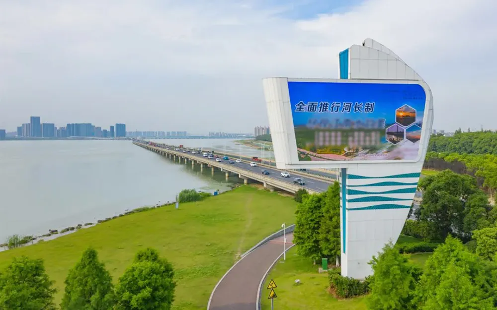
This solution is designed to fully implement the Opinions on Fully Implementing the River Chief System by promoting six key tasks: strengthening water resource protection, enhancing the management and protection of river, lake, and reservoir shorelines, improving water pollution prevention and control, advancing water environment management, boosting aquatic ecological restoration, and strengthening law enforcement and supervision. The solution establishes a modernized and intelligent water resource information platform centered on information collection, sharing, management, mobile operations, data analysis, and decision support systems, supported by standards, regulations, and policy guarantees. It provides scientific and modernized methods for decision-making in water environment protection, flood and drought control, and comprehensive water resource utilization.
The River/Lake Chief System Environmental Monitoring Solution adopts a grid-based river management approach. It is founded on a comprehensive framework that includes automatic monitoring of water quality, as well as video, audio, and meteorological data collected from various base stations. It supports hierarchical management at the municipal, county (district), township (street), and village (community) levels. The solution integrates multi-functions with a single platform such as comprehensive information display, business management, emergency management, daily operations, one solution for one river,one solution for one pollution discharge outlet, one map for watershed management and control, assessment and supervision, river information, my river, patrol records, complaint handling.
It provides query, reporting, and management services for river chiefs at all levels, inspection personnel, and the general public. Following the principle of territorial management, the solution enables centralized acceptance, closed-loop processing, and online management of river hydrology, water quality, water resources, and video and image information. It creates a tree-like management structure for river chief operations, with hierarchical management and supervision.
By promoting the systematic technical concept and comprehensive approach of intelligent river management, this solution enhances watershed informatization, modernization, and sustainable development. It offers a new integrated watershed management model, supports related departments in case registration, investigation, evidence collection, and case closure, and establishes a public supervision platform to improve public participation and satisfaction.
Dual Organizational Structure: Incorporates both watershed management and administrative region management.
Full Coverage of River Chiefs: Covers all levels of river chiefs, including municipal, county (district), township (street), and village levels.
Comprehensive Visualization: Displays data dynamically across various dimensions.
Public Participation: Introduces a public WeChat version to increase engagement and enthusiasm.
Detailed Assessment with Quantitative Indicators: Ensures precise data analysis and accountability at the individual level.
Fixed Water Quality Monitoring Stations
Outdoor Small Shed Water Quality Monitoring Stations
Integrated Cabinet Water Quality Monitoring Stations
Floating Water Quality Monitoring Stations
Multi-channel Automated Water Quality Laboratories


